| Welcome |
| About Us |
| History of Bloomfield |
| Museum |
| Membership |
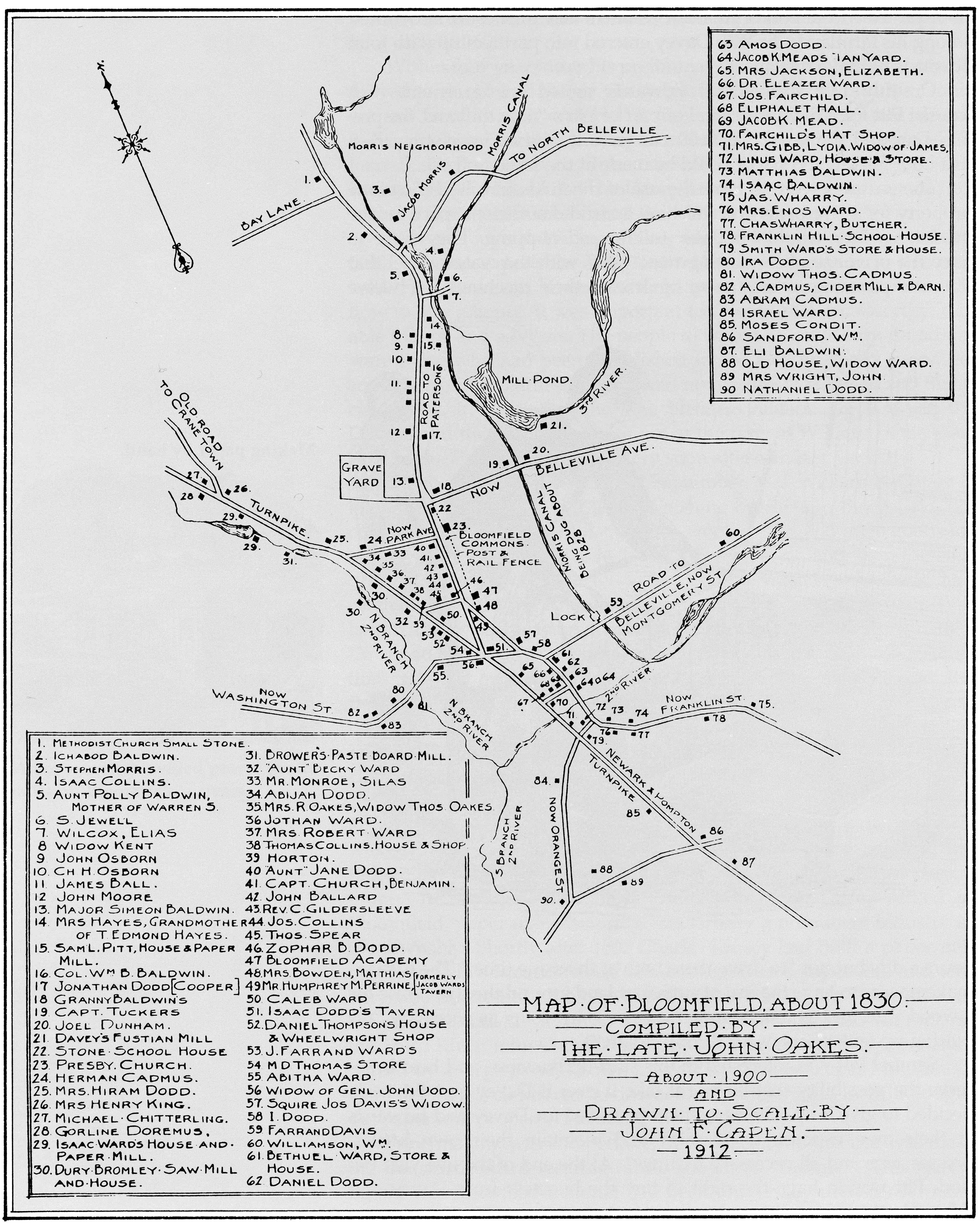
| Maps |
| Photo Galleries |
| Newsletter Archive |
| Video Archive |
| Resources |
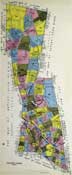
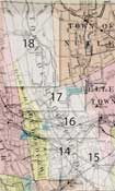
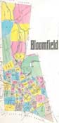
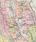
| Historical Maps of Bloomfield | ||||||||||||||||||||
|
|
||||||||||||||||||||

90 Broad Street
Bloomfield, NJ 07003
973-743-8844
info@hsob.org
| Historical Society of | Bloomfield |
|
|
90 Broad Street | |||||||||||||||||||||||||||||||||